Airport
Welcome to the Viroqua Municipal Airport and the City of Viroqua!
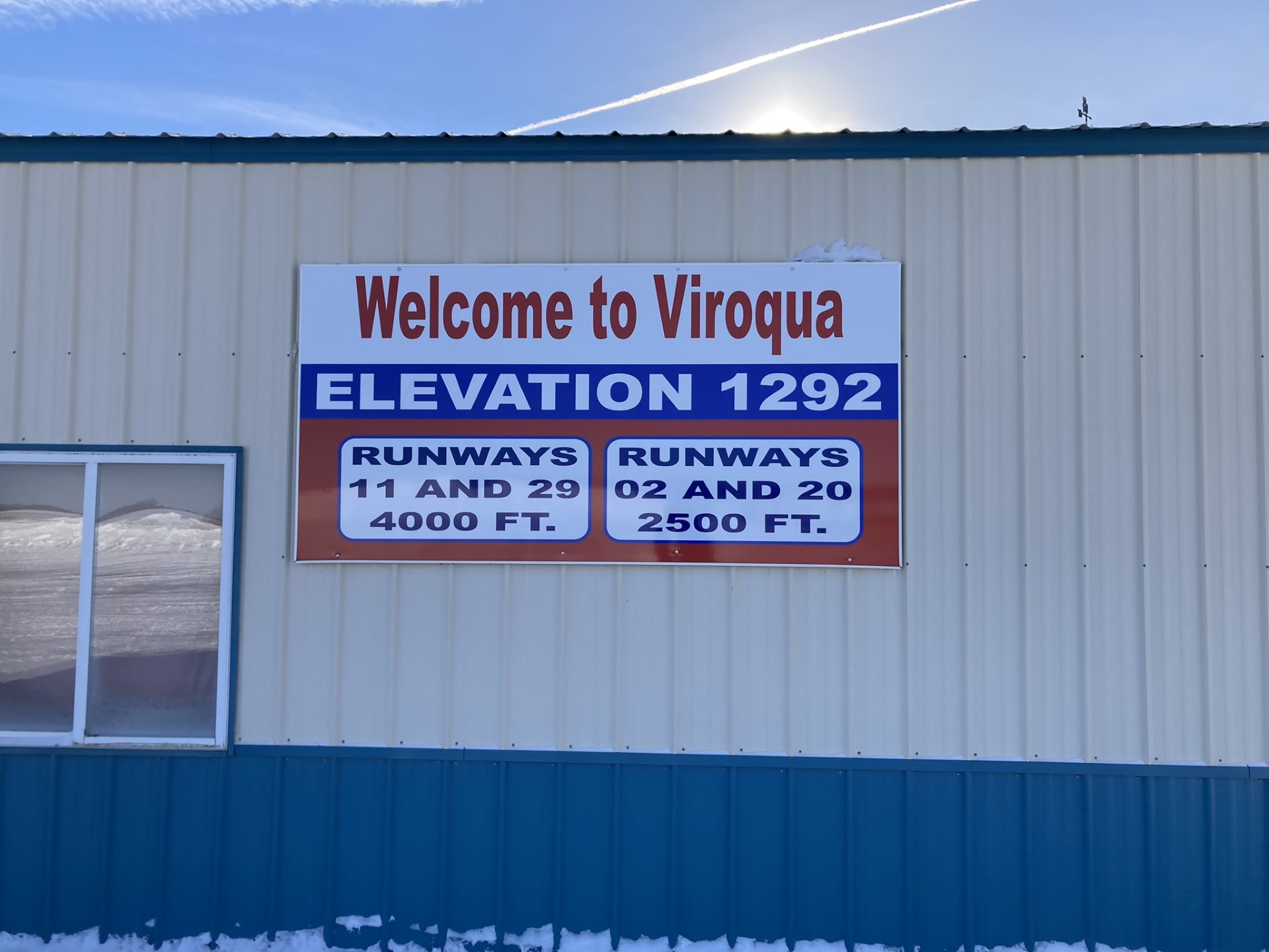
The Viroqua Municipal Airport, FAA Identifier Y51 is located on the northwest corner of Viroqua at an elevation of 1292 feet. The runways include 11/29 which is paved and 4,000 feet long. This specific runway was recently painted and has a new surface. Runway 11/29 also has pilot controlled lighting with PAPI’S on both ends and a GPS approach. Runway 2/20 is a 1900 foot grass strip and does not have lights. The airport also has an AWOS available on 118.975. The CTAF frequency is 122.9. and has been upgraded to provide users with a welcoming environment. If conditions warrant we have an area for tie down if needed.
Airport height limitation zoning map
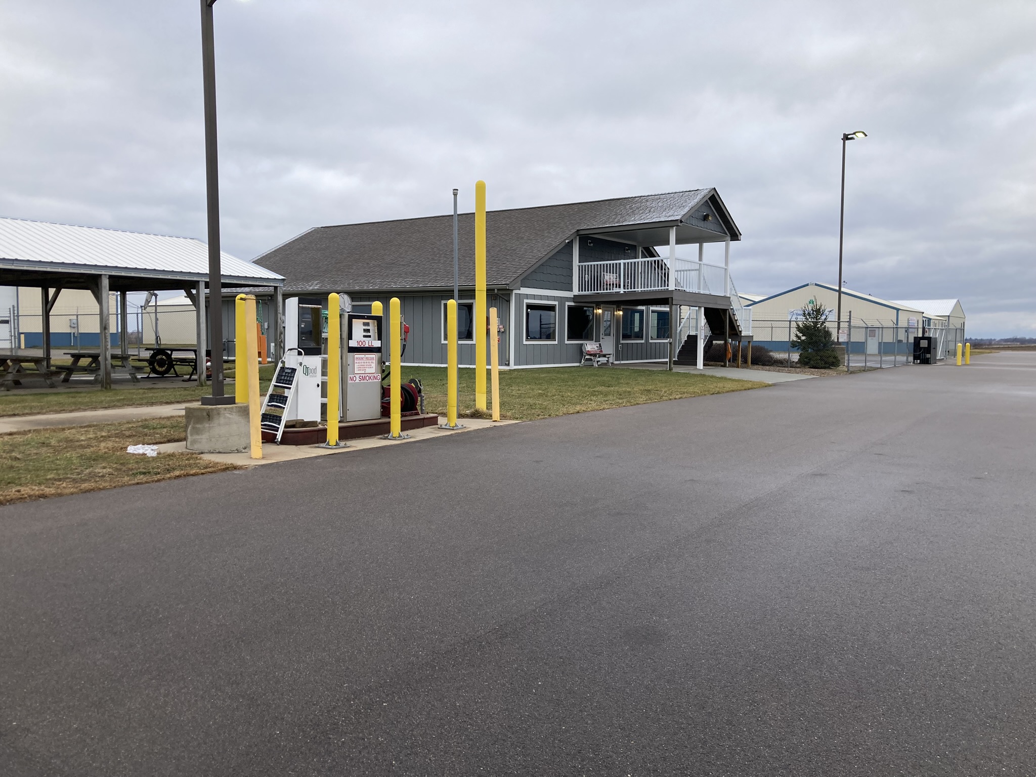
The airport facility building offers 100LL fuel available 24/7 with a credit card.
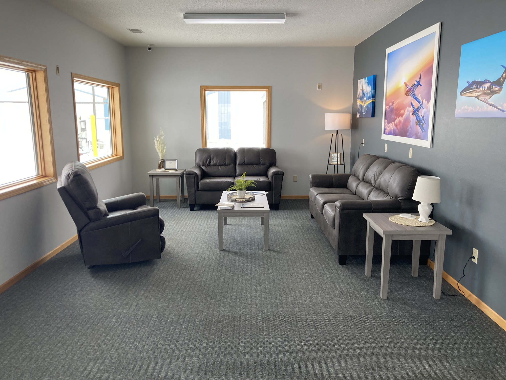
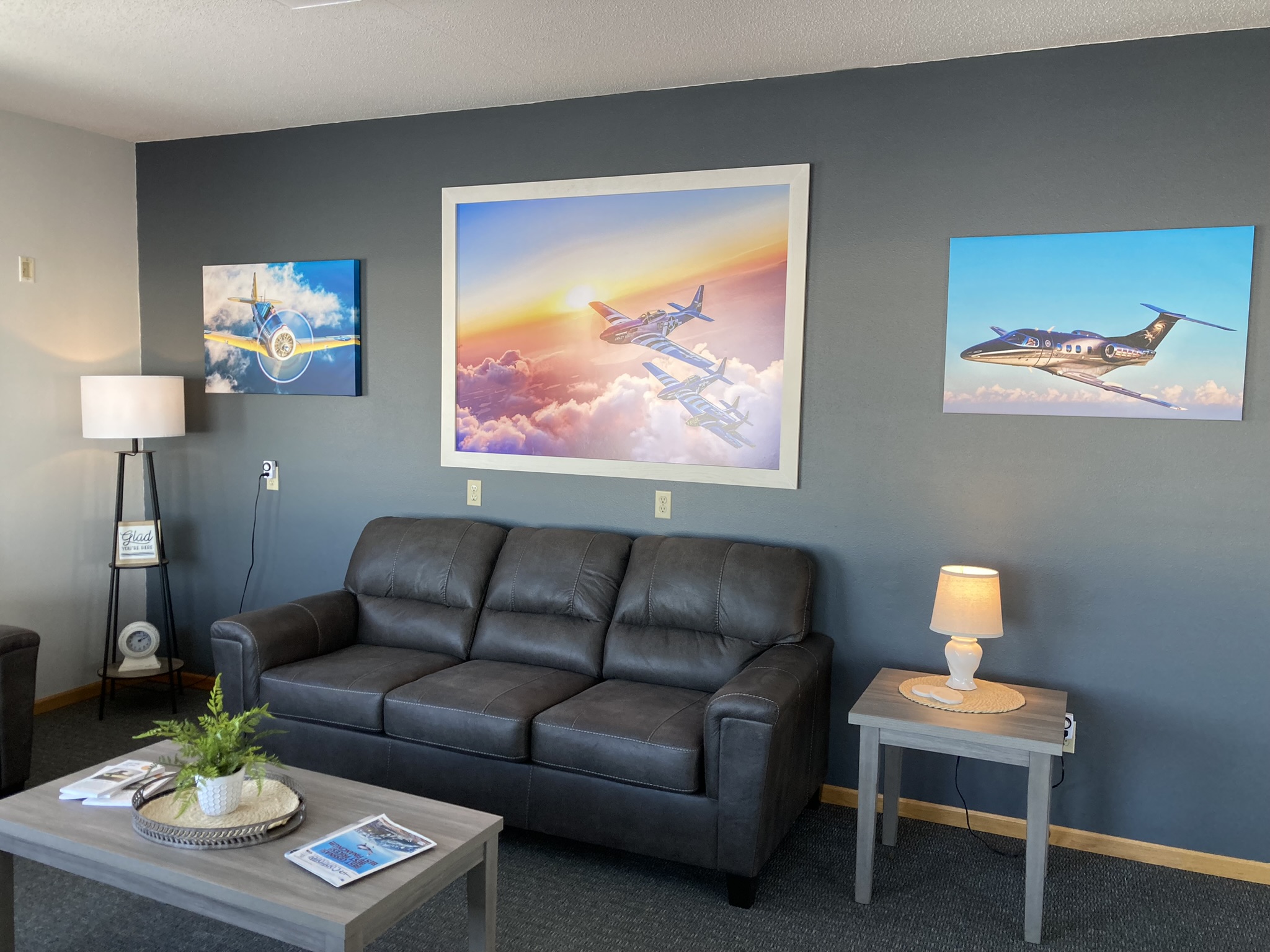
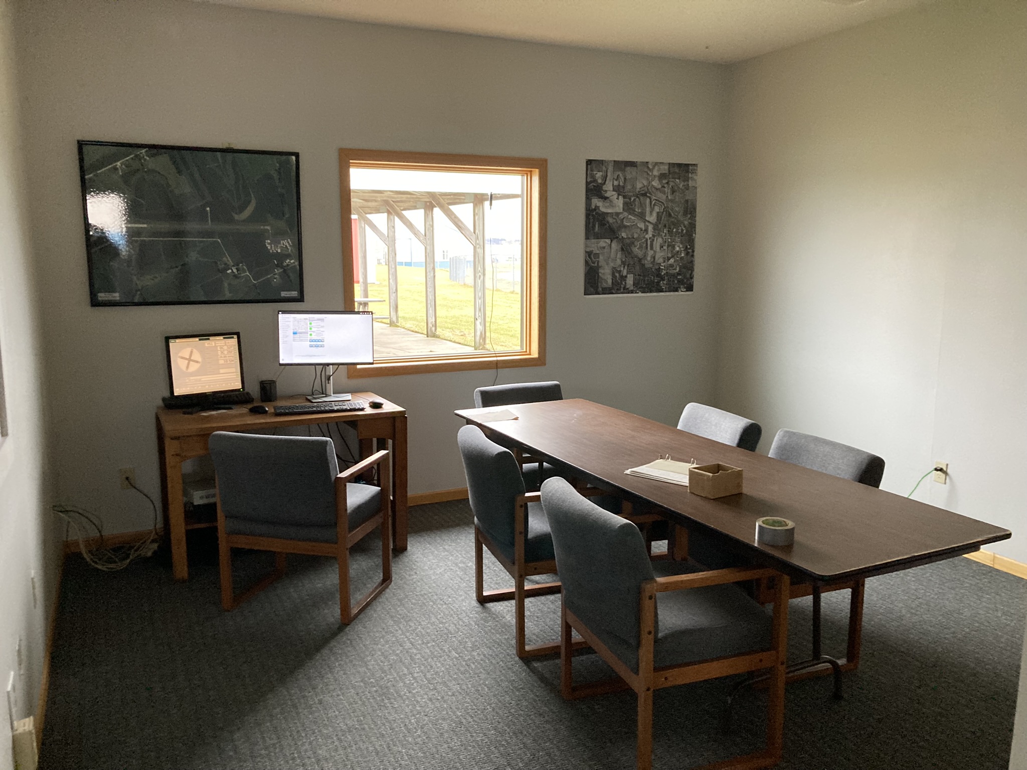
The inside of the airport building boasts a clean and relaxing pilot lounge. The lounge has two restrooms, a separate pilot study area with a flight computer, and complimentary wi/fi.
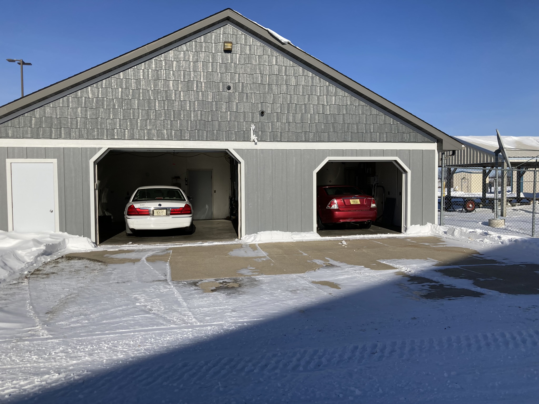
For guests arriving in Viroqua two courtesy cars are available. Both vehicles are parked in a heated garage which makes Viroqua a $100 hamberger visit year round.
The City of Viroqua is a welcoming community with many events and amenities to enjoy. We invite you to visit the Viroqua Chamber website for a schedule of events and a listing of area attractions https://www.viroquachamber.com
Mike Skildum, Airport Manager
608-675-3694
608-637-3108